
Lêer:West Midlands UK locator map 2010.svg

Size of this PNG preview of this SVG file: 494 × 600 piksels. Ander resolusies: 198 × 240 piksels | 395 × 480 piksels | 633 × 768 piksels | 843 × 1 024 piksels | 1 687 × 2 048 piksels | 1 108 × 1 345 piksels.
Oorspronklike lêer (SVG-lêer, normaalweg 1 108 × 1 345 piksels, lêergrootte: 302 KG)
Opsomming
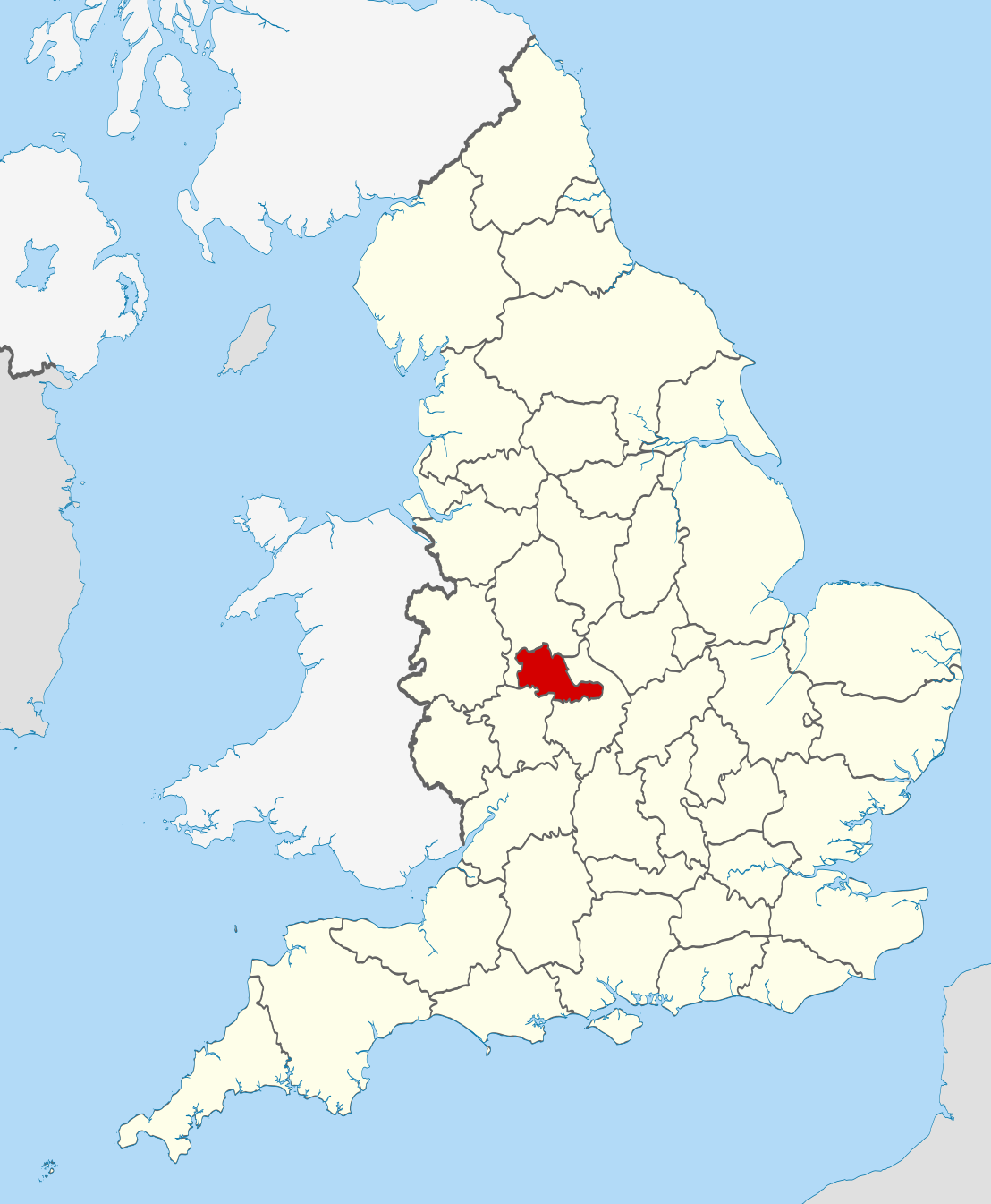
| Beskrywing | Location of the ceremonial county of the West Midlands within England. |
| Datum | |
| Bron |
National Geospatial-Intelligence Agency
|
| Outeur | Nilfanion |
Lisensiëring
Ek, die outeursreghouer van hierdie werk, publiseer dit onder die volgende lisensie:
Hierdie lêer is gelisensieer onder die Creative Commons Erkenning-Insgelyks Deel 3.0 Onoorgedraagde lisensie.
- U is vry:
- om te deel – die werk kopieer, versprei en deurgee
- om te hermeng – om die werk aan te pas
- Onder die volgende voorwaardes:
- naamsvermelding – U moet die nodige krediet gee, 'n skakel na die lisensie verskaf en aandui of daar veranderinge aangebring is. U mag dit op enige redelike manier doen, maar nie op enige manier wat daarop dui dat die lisensiegewer u of u gebruik onderskryf nie.
- insgelyks – As u die materiaal hermix, transformeer of voortbou, moet u u bydraes versprei onder die dieselfde of versoenbare lisensie as die oorspronklike.

|
Toestemming word verleen tot die kopiëring, verspreiding en/of wysiging van hierdie dokument onder die voorwaardes van die GNU-lisensie vir vrye dokumentasie, weergawe 1.2 of enige latere weergawe uitgegee deur die Stigting vir Vrye Sagteware, sonder Invariante Dele, geen Voorbladtekste en geen Agterbladtekste. 'n Kopie van hierdie lisensie is ingesluit in die afdeling getiteld GNU Free Documentation License. |
U kan die lisensie van u keuse kies.

|
This is one of the images forming part of the Valued image set: Locator maps of the Ceremonial counties of England on Wikimedia Commons. The image set has been assessed under the valued image set criteria and is considered the most valued set on Commons within the scope:
Locator maps of the Ceremonial counties of England
You can see its nomination at Commons:Valued image candidates/Locator maps of English ceremonial counties. |
Lêergeskiedenis
Klik op die datum/tyd om te sien hoe die lêer destyds gelyk het.
| Datum/Tyd | Duimnael | Dimensies | Gebruiker | Opmerking | |
|---|---|---|---|---|---|
| huidig | 22:46, 23 November 2010 | | 1 108 × 1 345 (302 KG) | Nilfanion | == Summary == {{Information |Description=Location of the ceremonial county of the West Midlands within England. |Source=Ordnance Survey [https://www.ordnancesurvey.co.uk/opendatadownload/products.html OpenData]: * |
Lêergebruik
Die volgende bladsy gebruik dié lêer:
Globale lêergebruik
Die volgende ander wiki's gebruik hierdie lêer:
- Gebruik in ang.wikipedia.org
- Gebruik in ar.wikipedia.org
- Gebruik in ast.wikipedia.org
- Gebruik in be-tarask.wikipedia.org
- Gebruik in br.wikipedia.org
- Gebruik in ca.wikipedia.org
- Gebruik in ceb.wikipedia.org
- Gebruik in cs.wikipedia.org
- Gebruik in dag.wikipedia.org
- Gebruik in da.wikipedia.org
- Gebruik in en.wikipedia.org
- West Midlands (county)
- West Midlands Metro
- Harborne Reserve
- Tyseley
- Transport in Birmingham
- Hodge Hill
- Sparkbrook and Small Heath
- Chamberlain Square
- West Midlands Bus route 11
- New Frankley
- Beacon Way
- Old Oscott
- Tower Hill, West Midlands
- Hill Hook
- Whitehouse Common
- Birchfield, Birmingham
- Buckland End
- Gravelly Hill
- Hawkesley
- New Oscott
- Perry Common
- Short Heath, Birmingham
- Stockland Green
- Wightwick
- Westside, Birmingham
- Transport for West Midlands
- Brandhall
- Aldridge-Brownhills Urban District
- Hockley, West Midlands
- New Hall Manor Estate
- Hawbush
- Blakenall Heath
- Merry Hill Shopping Centre
- Witton Lakes
- Brookvale Park Lake
- Olton Reservoir
- Lozells
Wys meer globale gebruik van die lêer.